Maps SDKs
One package each for web, Android and iOS. A fast vector map with Rana's day and night styles, markers and routes. Read the docs for web, Android and iOS.
Maps API for Nigeria
One key gives your team map SDKs for web, Android and iOS, plus services for directions, distance matrix, snap to roads, geocoding, places and static maps. Roads cover all of Nigeria. Lagos is mapped in the most detail.
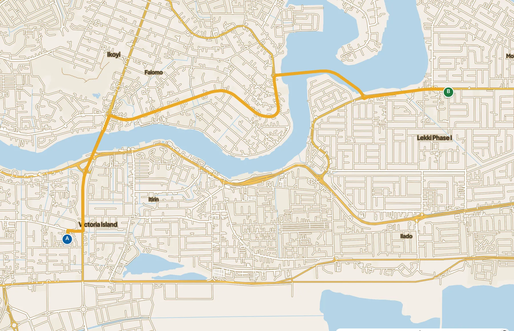
A real route from our routing engine, drawn by our own web SDK. Map data © Rana Maps © OpenStreetMap.
What you get
One key, one bill, one set of docs. Each service says how ready it is. Everything is Beta except places and forward geocoding, which are Alpha. See what the labels promise.
One package each for web, Android and iOS. A fast vector map with Rana's day and night styles, markers and routes. Read the docs for web, Android and iOS.
Routes by car, okada, keke, bicycle and on foot, with turn-by-turn steps. See the directions API.
Travel times and distances between many origins and destinations, up to 100 cells a request. Matrix docs.
Turn noisy GPS points into a clean path on the real road. Roads docs.
Coordinates to a street, area, LGA and state. Address search is Alpha. See geocoding for Nigerian addresses.
Search as you type, place details with gates and opening hours, and nearby search. Places docs.
A map image from one URL, for receipts, emails and order pages. Static maps docs.
Vector tiles of Nigeria's roads with Rana's own names and places on top. Design your own style in Rana Studio. Styles docs.
Why Rana
Global maps get you to the main road. Then the rider calls: which gate, which close, which turn after the church? Rana is built for that last part of the trip.
Pricing
No dollar card needed. Every organisation gets free requests every month. After that you pay per 1,000 requests, or take a plan that includes more usage than it costs. Full details are on the pricing page.
Free each month: 25,000 directions, 25,000 distance matrix cells, 25,000 snap-to-roads requests, 10,000 geocoding requests, 25,000 places autocomplete requests and 5,000 static map images. After that, directions cost ₦2,500 per 1,000 requests and distance matrix ₦1,500 per 1,000 cells. Showing the map in your app with our SDKs is not billed, under fair use. Prices exclude VAT.
Starter is ₦100,000 a month and includes ₦150,000 of usage. Business is ₦500,000 a month and includes ₦850,000 of usage. Enterprise terms are agreed in writing. You can ask for a monthly spending cap so a bug never becomes a surprise bill.
Where we are
Rana Maps is young and growing fast. Here is what is true today.
Get started
Questions
Something else? Write to us and a person will answer.
Roads and routing cover all of Nigeria. Lagos is mapped in the most detail today: street names, places, bus stops and gates. Outside Lagos you get the road network, city and state names, and fewer street names and places for now. Tell us where you need detail and we will prioritise it.
Yes. Every organisation gets free requests every month: 25,000 of directions, distance matrix cells, snap to roads, places autocomplete and place details, 10,000 of geocoding and 5,000 static map images. New organisations also start on a free trial with daily limits. Prices exclude VAT.
Yes. We invoice in naira once a month. Card and bank payment through a Nigerian payment provider is coming. You can ask for a monthly spending cap.
Everything is Beta except places and forward geocoding, which are Alpha. A breaking change to a Beta service needs 30 days' notice in the changelog. Alpha services can change with 7 days' notice.
Web, Android and iOS, one package each. They are in early access and opening to teams one by one. The web services are plain JSON over HTTPS, so they work from any server language.
Roads come from OpenStreetMap. Street names, places, bus stops, gates and road features come from Rana's own field mapping, recorded by people on the ground and checked before they are published. Keep the credit "© Rana Maps © OpenStreetMap" visible wherever you show our map or data.
Create your organisation in a few minutes. Your first requests every month are free.